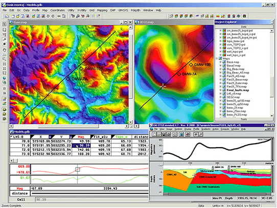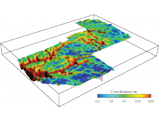
We maintain industry standard software running on high performance PCs, capable of manipulating large geoscientific datasets. Some of the software we routinely use for geophysical processing, imaging and modelling includes:
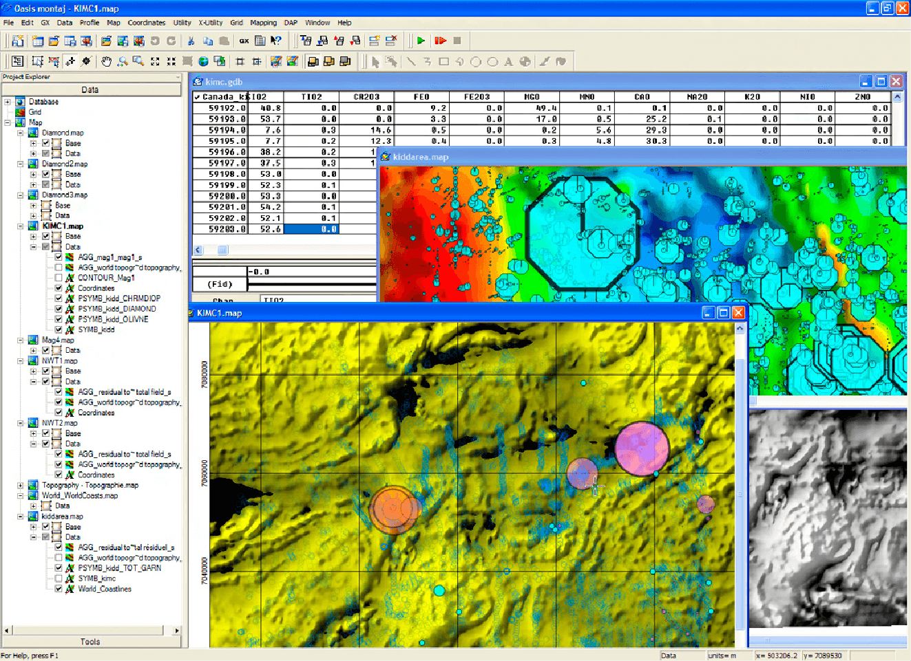
We maintain industry standard software running on high performance PCs, capable of manipulating large geoscientific datasets. Some of the software we routinely use for geophysical processing, imaging and modelling includes: