Techniques and Acquisition

At GD, we routinely provide geophysical services and support to both major and junior mining companies, ranging in scale from terrane assessment to near-mine. Geophysics provides a cost effective approach to minerals exploration and mining. A number of geophysical techniques are available to a suit a wide range of applications, and may be able to provide a solution to your business for a fraction of the cost of a drilling program.


GD has significant geophysical expertise and capabilities backed by industry standard and leading edge software. We have specialist capabilities relating to the acquisition, quality control, processing, 2D/3D modelling and interpretation of all types of geophysical data. We can provide advice as to the most suitable geophysical method to use in your next exploration program depending on your exploration objectives, the target sought and your budget.


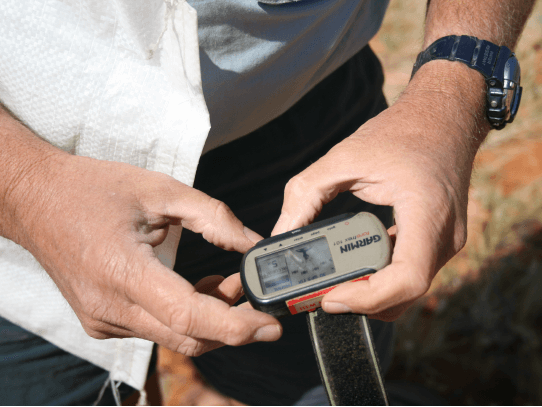
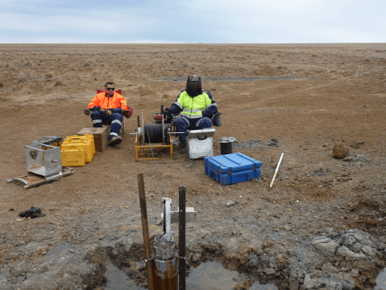
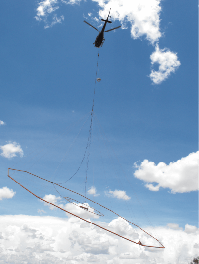
Although we oversee the design, acquisition and QA/QC of geophysical survey data, GD itself does not directly acquire geophysical data. We have an extensive network of geophysical service providers of which we maintain excellent working relationships with. We choose the service provider that would best suit your needs and work closely with them to design the most optimal geophysical survey. QA/QC of the geophysical data during the acquisition phase can be crucial to the success of an exploration program. Our focus is on ensuring that our preferred acquisition contractors maintain a high level of data quality for our clients. We monitor this on a day to day basis and can also be available to oversee acquisition activities in the field if required.


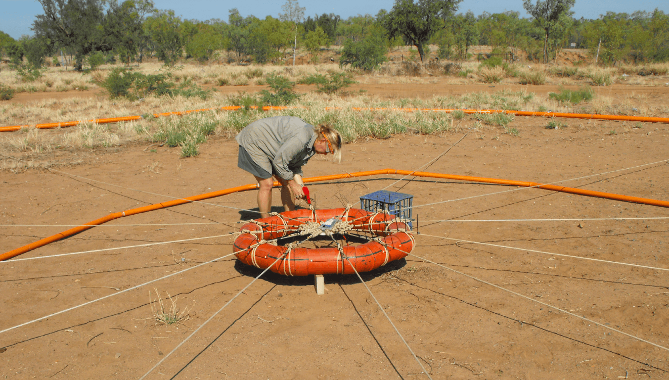
The team of GD geophysicists is skilled in a number of geophysical techniques, including:

Magnetics

  • Used extensively in the mineral exploration industry, magnetics can provide direct targeting of mineralisation styles that have a magnetite-pyrrhotite association.
  • Magnetics can also be a highly cost-effective geological/structural mapping and terrane assessment tool, particularly in covered regions.
  • Method can be airborne, ground based or downhole and has a large depth of investigation i.e. >1000m.
  • GD has expertise in performing predictive modeling to ensure optimum survey design, data and image processing, and interpretive modeling including specialist 3D inversion.
  • Examples of its application include mapping of intrusive bodies/dykes, alteration associated with supplied mineralization, structural mapping and fracture density mapping, and depth to basement determinations.

Gravity

Gravity surveying is a rapid and cost-effective tool for regional interpretation and for direct orebody detection. It is particularly useful in the detection of deposits which exhibit a large density contrast from their surrounding host rocks (for example, iron ore, coal, kimberlites).

  • Integration of gravity data with magnetic and electrical methods provides significant enhancement to regional interpretation and drill targeting.
  • Method can be airborne, ground based or downhole and has a large depth of investigation i.e. >1000m.
  • Routine modelling for depth of cover and significant basement-sourced bodies is possible using density information from gravity survey data, borehole logs and sample determinations.
  • GD has specialist skills in 2D/3D modelling and interpreting of both ground-based and airborne gravity data.
  • Examples of its application include the delineation of coal-bearing sedimentary basins due to its extremely low density, defining major regional structures that may provide suitable pathways for mineralizing fluids, and depth to basement determinations.

EM

  • Many orebodies (including massive sulphides, kimberlites) exhibit intrinsic conductivities with or without an associated magnetic response and are amenable to detection using EM methods.
  • Method can be airborne, ground based or downhole but has a variable depth of investigation (based on the specific method used and type/depth of cover).
  • Significant improvements in airborne and ground EM interpretation methods and software in recent times enables sophisticated 2D and 3D modelling, with export of models to advanced GIS/visualisation packages.

These enhanced capabilities allow improved detection of basement features under conductive overburden, and are also very effective in reassessment and targeting using historical surveys.

Some examples of its application include structural mapping and identification of structures that may provide suitable pathways for mineralizing fluids, directly mapping massive sulphide as well as geotechnical / hydrological / environmental applications such as tailings dam spillage and salinity.

Sub-Audio Magnetics (SAM)

  • The SAM method relies on current channelling through the subsurface between two electrodes placed at either end of the survey grid.
  • The equivalent magnetometric resistivity (EQMMR) parameter is acquired simultaneously with the Total Magnetic Intensity (TMI) data.
  • This technique is used to map possible current channelling effects along structures as well as zones of conductive mineralisation under cover.
  • It is particularly useful in covering large areas quickly.
  • The method can be ground or airborne based and has a variable depth of investigation (based on type/depth of cover).

Magnetotellurics (MT), Audio-frequency MT (AMT) and Controlled Source Audio-frequency MT (CSAMT)

  • The MT method measures time-variations in the natural electromagnetic field at the surface of the Earth.
  • CSAMT uses an artificial signal source. It can be done on its own (but is limited to higher frequencies and less depth penetration), or in conjunction with natural MT fields. By using the artificial (“controlled”) source at one transmitter site 5 – 10km away from the receivers, a stronger and more reliable signal is produced through a greater frequency range. This allows greater resolution of the imaging of targets than natural fields alone.
  • The method is useful for mapping structures and conductive mineralization directly.
  • The advantage of these methods over conventional EM techniques is the greater depth penetration and reasonably fast set-up

Induced Polarisation (IP)

  • IP/Resistivity is an excellent tool to detect and map disseminated and massive sulphide ores, native copper ores and disseminated sulphide-bearing alteration systems.
  • Method can be ground based or downhole but has a variable depth of investigation (based on the specific method used and type/depth of cover).
  • Major advances have been made in the equipment (high powered transmitters) as well as interpretation and visualisation of IP/Resistivity data over recent years. Reassessment, processing and targeting using historical data can be of enormous benefit when targeting.
  • GD has industry leading capabilities in survey design and acquisition techniques, quality control (including quantitative EM coupling assessment), and interpretation using specialist 2D and 3D inversion modelling techniques.
  • Examples of its application include directly mapping disseminated / massive sulphides, identifying structures that may provide suitable pathways for mineralizing fluids, and depth to basement determinations.

Remote sensing

  • Remote sensing data such as Landsat, Spot or Aster are effective tools for target generation via direct detection of alteration for a range of deposit types.
  • It can also be used for geological mapping and structural analysis from regional terrane assessment to prospect scale.
  • Critical regolith landform information can also be derived to assist in the planning and interpretation of geochemical surveys.
  • Method can be airborne, ground based or downhole but has a limited depth of investigation i.e. <30cm (and therefore may not be suitable for targeting under deep cover).
  • GD has extensive experience in the processing and interpretation of remote sensing data.

Borehole Wireline Geophysical Logging

Used extensively in the oil and gas, iron ore and coal industries, wireline logging is routinely carried out to characterize the physical properties of a borehole and to correlate these properties with lithological logging. However, in many cases, this data is not utilized to its full potential and is not adequately quality checked to ensure its integrity.

  • Data collected can include density, magnetic susceptibility, natural gamma, sonic, resistivity, caliper, verticality, neutron, and acoustic scanner.
  • Using the latest WellCAD software, GD can readily integrate this data with geological logging information to provide a complete borehole log, to aid with visual interpretation and correlations.