Processing & Imaging

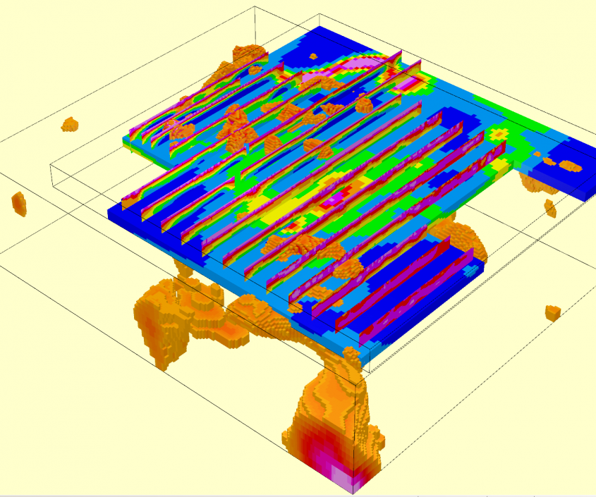
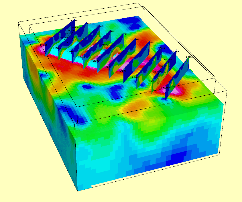
Whether it is data from a recently acquired geophysical survey, old data that has been sitting in your archives for years, or available open file data, GD has the expertise and specialist software to maximize the value from it. Data can be processed to remove artefacts and noise, thereby enhancing features of interest. High-end filtering is also carried out routinely to further define structures and targets. The end result is a series of high resolution images provided in digital and GIS formats that can be directly integrated into the clients own data interpretation package.


Some examples of the type of processing we carry out include:


  • Removal of striping and levelling issues in line and gridded data (typical in magnetic data).
  • Filtering of potential field data (magnetics and gravity). Typical filters include First and Second Vertical Derivative, Reduction to Pole, Analytic Signal, Tilt Derivative, Gaussian Residuals, Low/High-pass, and Automatic Gain Correction.
  • Merging of multiple surveys blocks to form one cohesive dataset. This might include the merging of acquired detailed data into regional government data.
  • Imaging and modelling of historical induced polarization and / or electromagnetic survey data making use of the recent advances in processing techniques.

If you are unsure what openfile geophysical data is available in your area of interest, GeoDiscovery can assist – we have access to available datasets.